
I won’t bore you outright with the whole story of the geography and weather patterns of southwestern Ontario in general and of Point Pelee in particular. Mainly because I don’t know enough about it. But here’s a general outline.
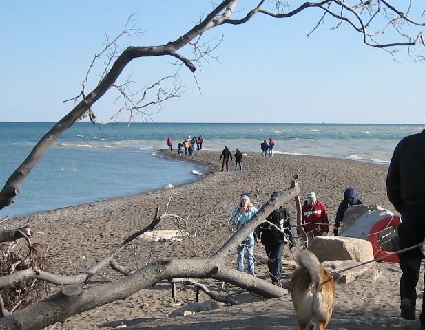 Point Pelee is the southernmost part of mainland Canada. It is a triangle of land, protruding out into Lake Erie from Leamington, Ontario. At the south end of this triangle, another triangle of sand pokes way out (usually kilometres) into the water. It is here that two lake currents meet and clash, depositing sand and taking it away continuously. You can kind of see the two different currents coming together in these pictures, if you look closely. The two different colours swirling, and the waves meeting there behind Jodi.
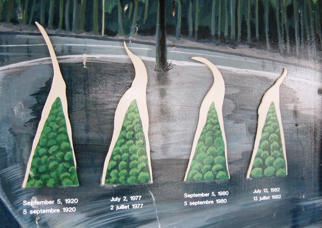
The point changes shape all the time, and even becomes longer and shorter, based on the wind and the currents. These little model pictures in the visitor centre show the ways it has changed over the years.

A few weeks ago, in the middle of March, there was a big storm, full of wind and fury. And the point disappeared. The sign warning people of the dangerous currents at the tip was found over 80 km away washed up on the shores of Lake Erie, somewhere in Ohio.
We just had to see this for ourselves. And, you know, any excuse to go to Point Pelee. Luckily, I was in Windsor the weekend after this happened, so I headed out to see Ken and Jodi, who are close neighbours of the Point. We loaded the dogs up in the car and headed south.


Just after the storm, the water was right up to the last bit of solid ground, by the park bench you can see here, according to the park wardens. We visited only a few days after the storm, and already the point was well on its way to wholeness and pointiness again. You can see an aerial picture from shortly after it started re-forming here.


It was a lovely, if chilly day. Lance is still enough of a water lover to plunge into the very, very cold water, though. We took advantage of the opportunity to take pictures of each other standing on the southernmost point of Canada, while it wasn’t quite as southern as usual. I have lots and lots of pictures like this, from over the years, of all kinds of friends and relatives who’ve been dragged out to the point.
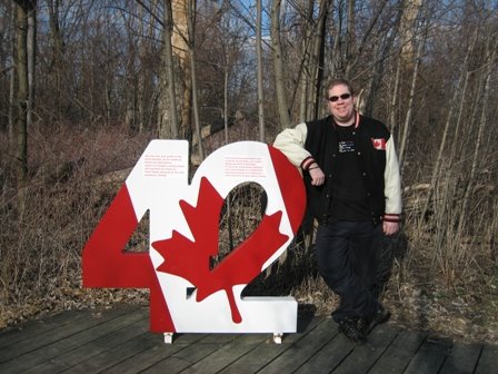
One more interesting note – this part of Canada is roughly at the 42nd parallel. I’ll let the panel close-up explain, but really, any day that presents a chance to pose for a picture with a giant number 42 is a good day.

3 comments:
That is very cool. Thanks for the little lesson. It reminds me of Great Point on Nantucket. There, the Atlantic and Nantucket sound meet much the same way (two opposite currents hitting against each other) and create a 2 mile rip tide. It's so fascinating and absolutely breathtaking to watch. I love stormy churny water.
So interesting! I've never been to Pelee. I guess I'll have to go one day. I LOVE the 42.
How interesting!
Post a Comment