We got up in time to get breakfast at the hotel, then headed south, out of St. John's and down to explore the Irish Loop and the Avalon Peninsula. We took our time, driving along the coast and stopping frequently at the side of the road to take pictures of the blue and green vistas that kept opening to us.
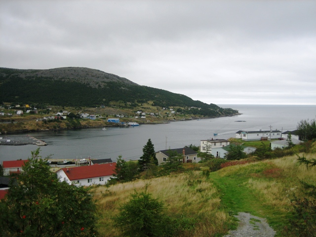
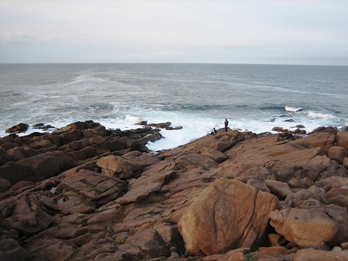
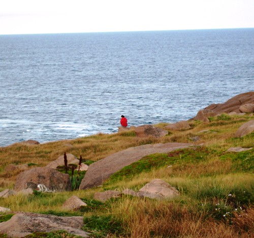
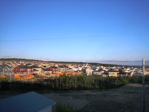
At one point near Tor Bay, we had stopped near a house where some people were working outside, and Keith heard a woman remark, "If I only had $500 for every tourist that stopped here to take a picture! I don't know what they think they see!" Here's what we saw: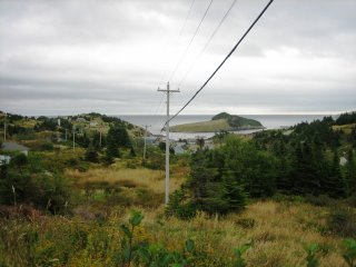
It's funny how one can become so used to anything - including beauty - to the point where it isn't even visible anymore.
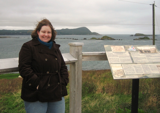
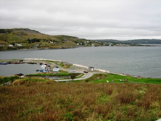 We stopped at the Colony of Avalon, an historic site where you can see the open archaeological digs, and take in yet more stunning views. You can see some of the open pits in the picture on the left (kind of).
We stopped at the visitor's centre briefly, but decided to bypass the tours and displays in favour of wandering around on our own.
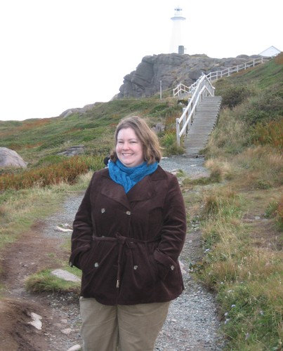
By this time, I was glad that I'd brought my clapotis, and had it secured snugly around my neck, protecting against the very cold wind and the occasional gusts of misty drizzle. (Oh, yeah - I made a second clapotis for myself in a more reasonable, wearable colour of Silky Wool.)
[Arrgh. Here's where blogger stops letting me add pictures. Back to good old Flickr. Maybe there's a secret quota and I've far surpassed it.]
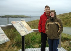
I started to keep track of the pictures in my little knitting note book, marking how many pictures I'd taken of Witless Bay, Tor Bay, Calvert, Avalon, Bear Cove...
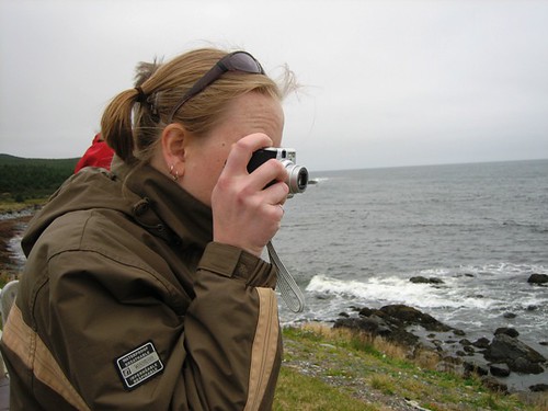
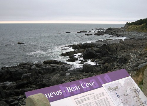
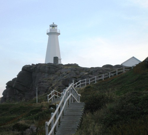
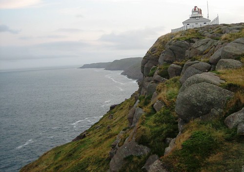
We drove south down to the barren area approaching Cape Race, whose claim to fame is that it was a Marconi station here that received the Titanic's distress calls. The open, empty landscape reminded me a lot of the Burren, a very similar landscape near Galway in Ireland. It was as we drove through this area that it began raining. We decided to cut the day trip a bit short, since stopping for pictures wouldn't be as easy or productive.
Instead, we headed back to St. John's, where we visited the Geo Centre, situated with its entrance and lobby on the side of Signal Hill, and the rest of the attraction located beneath the surface of the ground. It was an interesting visit, though we could have gotten more out of it if we'd visited first thing in the morning, rather than after a day in the car.
Part of the Centre is a large display of Titanic information, including many, many panels telling the entire story of the ship's building, history, financing and final voyage. It was quite interesting, and very comprehensive, if skewed and accusatory of... well, everyone involved. By the end, we were all a bit tired of hearing how it wasn't the fault of the iceberg, but of every single person involved, who had all been greedy and lazy and acted without conscience. Thanks. Got it after the first 20 panels.
Anyway, as I said, we may have been more impressed if we weren't a wee bit tired.
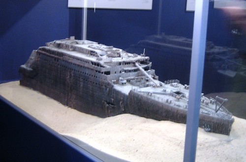
The part of the exhibit I found most interesting, if a bit creepy, was a model of the Titanic as it appears now - broken and crumbling on the floor of the Atlantic Ocean.
We next headed up Signal Hill to take in the amazing views from this spot above St. John's.
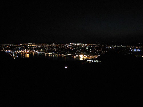
This is pretty much the same picture as the one in my first Newfoundland entry, only now in daylight.
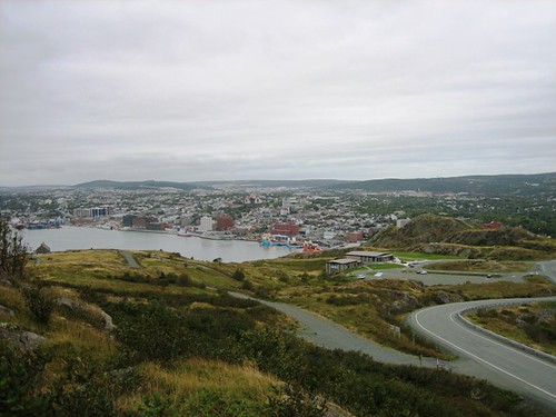
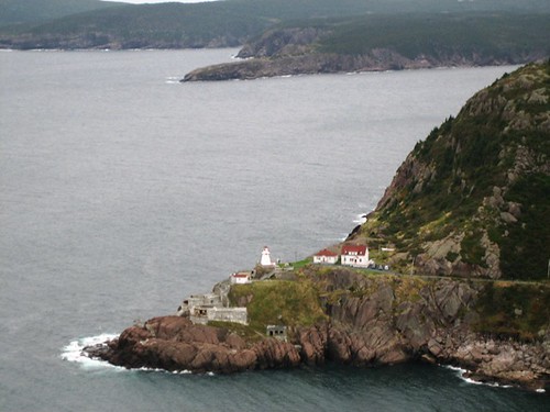
I'll restrain myself from posting all of these pictures. Check out the group in Flickr by clicking on any of the last few pictures to see more.
That evening, we headed out to Vanessa and Aaron's house near St. John's, for a wonderful dinner.
I thought this would be my last Newfoundland entry, but I think I'll leave our morning in downtown St. John's for a last, brief story, since this is getting too long.
Imagine I'd been there more than five days!

